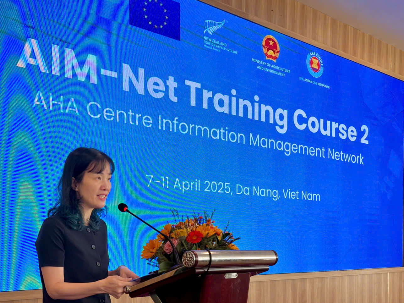
On April 7, 2025, the ASEAN Coordinating Centre for Humanitarian Assistance on disaster management (AHA Centre), in collaboration with the Vietnam Disaster and Dyke Management Authority (VDDMA) under the Ministry of Agriculture and Environment, launched the 2nd Training Course on the ASEAN Disaster Information Management Network (AIM-Net) in Da Nang. The five-day training, taking place from April 7 to 11, brings together 30 participants from the 10 ASEAN Member States, along with information management experts and representatives from the AHA Centre.
Page Content
This training course focuses on the use of information and digital platforms to strengthen disaster data systems across the region. Access to accurate and timely data and information is essential for making fast and effective decisions in disaster response. Through this course, disaster management officers from across ASEAN will have the opportunity to learn from each other, share experiences, and contribute to the enhancement of regional disaster information management systems.
In her opening remarks, Ms. Doan Thi Tuyet Nga, Head of the International Cooperation Division, Vietnam Disaster and Dyke Management Authority (VDDMA), expressed her deepest condolences to the people of Myanmar and Thailand for the devastating earthquake that caused significant loss of life and damage. She emphasized that this disaster is a clear reminder of the challenges ASEAN countries face and highlighted the need to improve preparedness and response to natural disasters. “This is the time for us to further strengthen our capacities, share experiences, and collaborate more closely to respond more effectively to disasters in the region,” she said.
Ms. Doan Thi Tuyet Nga, Head of International Cooperation Division, VDDMA
The five-day course is held under the theme:
"Advanced Geospatial Analysis (Risk Assessment) & Introduction to Big Data",
and aims to equip participants with skills in geospatial data analysis and risk assessment using QGIS software, with the objective of generating GIS products to support disaster management.
The sessions cover a wide range of topics—from introduction to risk assessment and data requirements, to editing vector and raster spatial data in QGIS, hazard distribution modeling, and assessing population and infrastructure vulnerability. By the end of the training, participants will be guided in preparing final GIS products and exploring applications of Artificial Intelligence (AI) and Big Data in disaster risk management.
The course also includes hands-on exercises such as assessing population vulnerability and identifying high-risk infrastructure, as well as applying machine learning (ML) techniques in disaster management. Experts will provide technical support throughout the sessions and facilitate discussions on good GIS practices.

An overview of the training course
STICD