Heavy rainfall triggered landslides at multiple locations. Approximately 40 cubic meters of soil and rock collapsed onto National Highway 15D at Km10 in La Lay Commune, blocking traffic. Additional landslides occurred in Dakrong, Truong Son, Khe Sanh, and Ta Rut communes, damaging local roads and disrupting transportation.
Over the previous 24 hours, rainfall totals ranged from 30–100 mm in lowland areas and 100–300 mm in mountainous areas, with some locations exceeding 350 mm. Notable rainfall amounts included 546.8 mm at Ta Long, 468 mm at A Vao, 452.8 mm at Ta Rut, and 430.8 mm at Ba Nang.
Authorities reported that 8,593 of the province’s 8,623 fishing vessels had returned to safe anchorage, while the remaining 30 vessels operating at sea had been informed of the tropical depression and weather developments.
Provincial authorities have activated response measures, increased monitoring of rainfall and river levels, and strengthened warning dissemination in vulnerable areas. Local governments have mobilized emergency response teams, police, military personnel, and community forces, while preparing equipment and supplies to support residents in flooded and isolated areas.
Traffic police and local authorities have installed warning signs, barriers, and checkpoints at flooded roads, overflow crossings, and landslide-prone locations. Residents have been urged not to cross inundated areas or fast-flowing waters and to avoid unnecessary travel during the ongoing heavy rain and flooding.
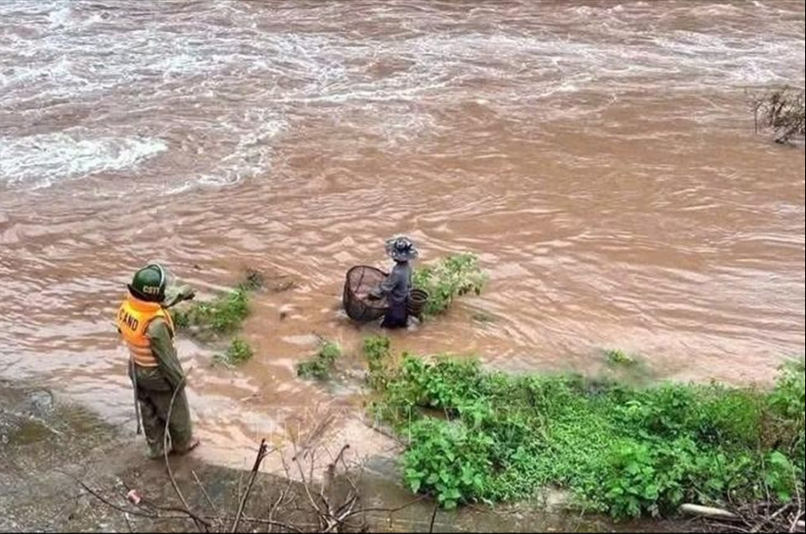
Border Guard forces have maintained communication with fishing vessels and remain on standby with 372 personnel and 28 vehicles and boats ready for emergency response, search, and rescue operations. Meanwhile, police in Thuong Trach border commune have warned residents against entering rivers and streams to catch fish while floodwaters are rising, citing the high risk of drowning and flash floods.
